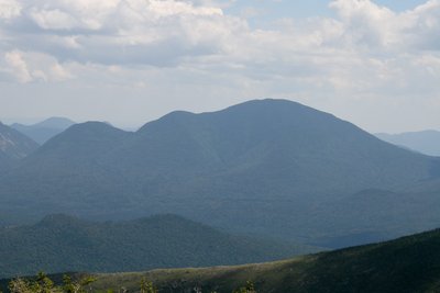
Mount Carrigain (4,680 ft) sits at the heart of the Pemigewasset Wilderness, named for Phillip Carrigain, New Hampshire's secretary of state in the early 1800s who mapped much of the state. The summit itself is densely wooded, but a historic fire tower there offers what hikers consistently rank among the finest 360-degree panoramas in the White Mountains, with views stretching from the Presidential Range to the north across the full Pemi backcountry and south to the Sandwich Range. On a clear day, 43 of New Hampshire's 48 4,000-footers are visible from the platform.
The Signal Ridge Trail is the standard approach, covering roughly 10.3 miles round trip with about 3,000 feet of elevation gain. The lower section climbs steadily but gently before the trail sharpens onto the ridge itself, where the terrain opens to low scrub and broad views in both directions. Those looking for a longer outing can use the Desolation Trail and Carrigain Notch Trail loop for added variety. Note that Sawyer River Road, which leads to the trailhead, has been closed periodically due to storm damage, potentially adding several miles of walking to the round trip; verify road conditions before setting out.
Carrigain's remoteness from the main highway corridors keeps foot traffic lighter than on comparable White Mountain peaks. Late spring through fall is prime season; winter and early spring bring deep snow and ice requiring microspikes or crampons on the steeper upper ridge.