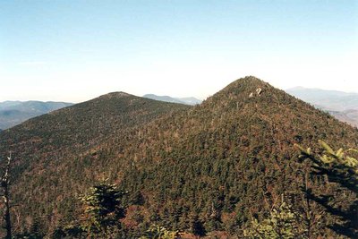
North Tripyramid is the tallest of three peaks that give Mount Tripyramid its name, rising to 4,160 feet in the Sandwich Range Wilderness above Waterville Valley. The mountain is defined above all else by the North Slide, a sweeping avalanche slab created in August 1885 when heavy rains scoured the northwest face clean, exposing nearly 1,200 feet of continuous bedrock and loose gravel.
The standard approach follows the Mount Tripyramid Loop from Livermore Road, an 11-mile circuit with about 3,000 feet of gain. The crux is the North Slide itself: a steep, exposed Class 2 friction scramble that gains most of its elevation in half a mile. The slab is manageable on dry rock but becomes serious when wet or icy, and snow lingers well into June. Hikers descend via the South Slide, shorter but similarly steep. The forested summit of North Tripyramid has limited views, but the open slide offers broad sightlines to Mount Osceola, Mount Tecumseh, and the ski runs of Waterville Valley below.
The loop also passes Middle Tripyramid, another NH 48 peak, making the day one of the more efficient peak-bagging opportunities in the range. Late spring through fall is the best window; the slides are not suitable for descent in icy conditions.