Owl's Head sits at the heart of the Pemigewasset Wilderness, its 4,029-foot summit more than nine trail miles from the nearest road. No maintained path reaches the top, no views wait at the wooded cairn, and the approach threads former logging railroad corridors, two Franconia Brook crossings, and a notoriously muddy stretch before arriving at the base of the summit slide.
The standard out-and-back covers roughly 18 miles from the Lincoln Woods Trailhead, with the first eight miles relatively flat on old railroad grade. The Franconia Brook crossings can be hazardous in high water, particularly during spring snowmelt. The final mile up the Owl's Head Path climbs the western slide on loose gravel and rock, gaining roughly 1,500 feet in steep, unsteady terrain; many parties spend two hours or more on this mile alone.
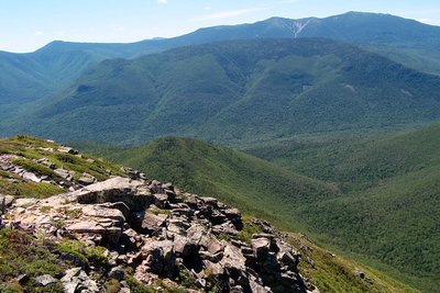
The summit cairn sits in dense forest with no view. Limited sightlines toward the Franconia Ridge open along the slide, worth a pause before the trees close in again. A 2005 survey moved the official high point 0.2 miles north of the historic cairn; both are recognized for list purposes. Winter adds avalanche hazard on the slide and compounds the navigation challenges of the long approach.