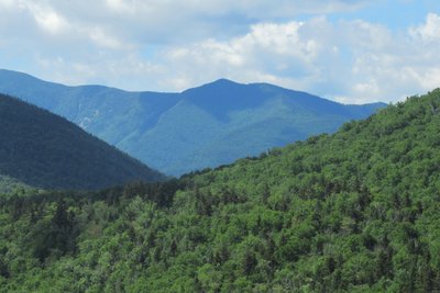
South Hancock sits at 4,257 feet in the heart of the Pemigewasset Wilderness, named for John Hancock, one of the signers of the Declaration of Independence. Tucked between Franconia Notch and Crawford Notch, it forms a natural pair with North Hancock just 1.4 miles to the north; the two peaks share a single loop trail and are almost always hiked together.
The Hancock Loop Trail starts at the Hancock Overlook parking area on the Kancamagus Highway, following the Hancock Notch Trail and Cedar Brook Trail before joining the loop itself. The full circuit covering both summits is 9.8 miles with roughly 2,700 feet of elevation gain. The approach is a long, moderate walk through mixed forest alongside North Fork Brook, with the terrain steepening sharply near the top. A short, steep 0.5-mile spur branches off the loop to reach South Hancock's summit.
The summit is wooded, but a spur trail just below the top leads to an open ledge with views to the southeast toward the Moat Range; brief glimpses of the Tripyramids and Mount Carrigain appear from points along the connecting ridge between the two peaks. Snow persists well into spring on the north-facing approach, and ice can make travel treacherous in shoulder seasons. There is no cell service in the area.