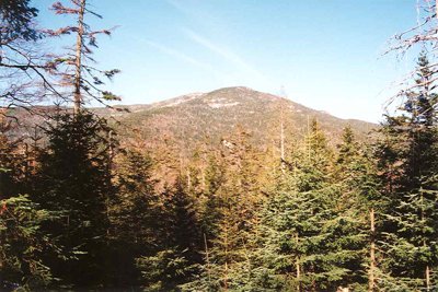
Panther Peak stands at 4,442 feet as the 18th-highest summit among the Adirondack High Peaks and the second-highest point in the remote Santanoni Range. The name honors the cougars that once ranged this corner of Essex County; it was in use by 1840, though it originally referred to a neighboring mountain before being applied to the present peak by 1904, when surveyor Daniel Lynch made the first recorded ascent.
Reaching Panther requires unmarked herd paths through some of the most isolated terrain in the High Peaks. The standard route starts at the Upper Works trailhead near Newcomb and follows the old Tahawus Club Road before transitioning to rough backcountry terrain, covering roughly 12.5 miles round-trip with about 3,762 feet of gain. The distance and absence of any maintained trail make this a natural backpacking objective; strong day hikers should allow 12 or more hours. Map, compass, and GPS are essential.
Panther is nearly always paired with its Santanoni Range neighbors, with a junction known locally as "Times Square" connecting the paths to all three summits. Trail details for the full range loop are available here. The summit is largely forested, but a west-facing opening and a small bald area reward clear weather with views across the surrounding peaks. Snow and ice can linger on north-facing slopes well into May.